COLORADO TRAIL SOUTH
Published with permission from the guide book: Mellow Mountain Trails Hiking Guide to Colorado’s Upper Arkansas River Valley
by Nathan Ward.
- Featuring 27 Fun Day Hikes in Buena Vista & Salida – beginner to expert..
- Maps and Elevation Profiles for each ride, including altitude gain and loss.
- Local Advice on riding areas and seasons, where to sleep, where to soak, where to find the best pizza, the best coffee and the best bars in Buena Vista & Salida, Colorado.
Colorado Trail South
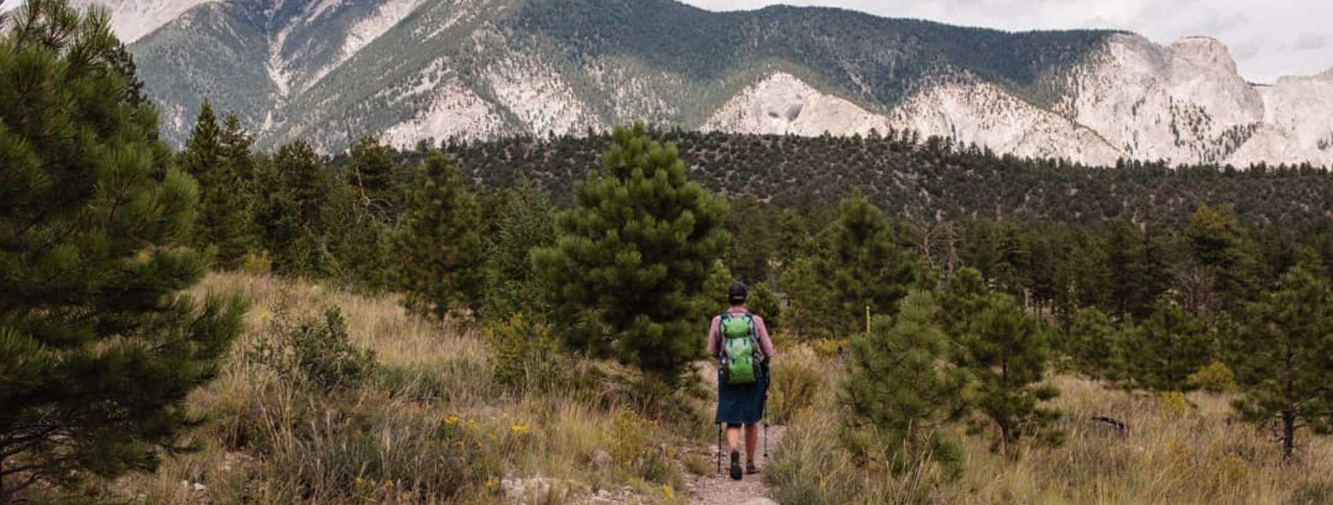
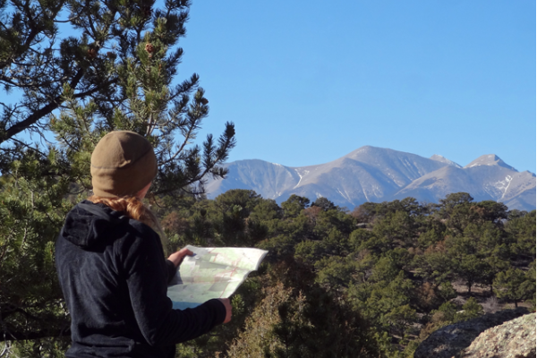
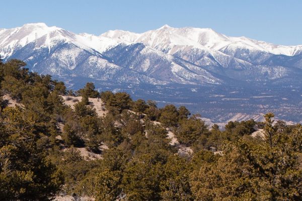
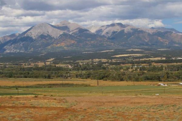
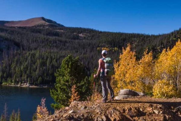
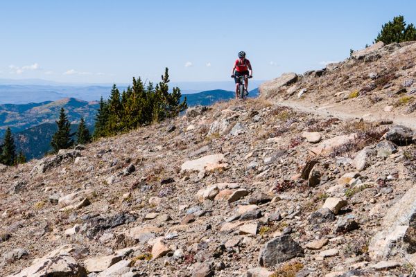
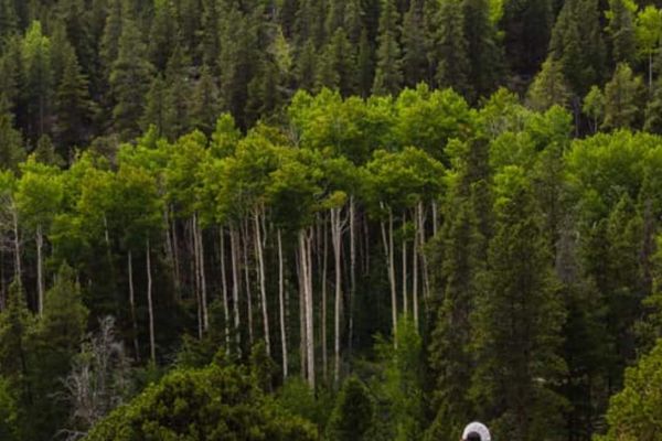
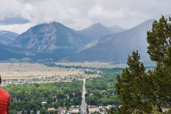
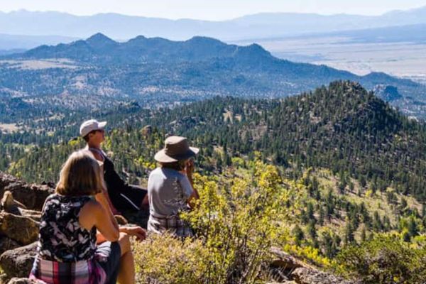
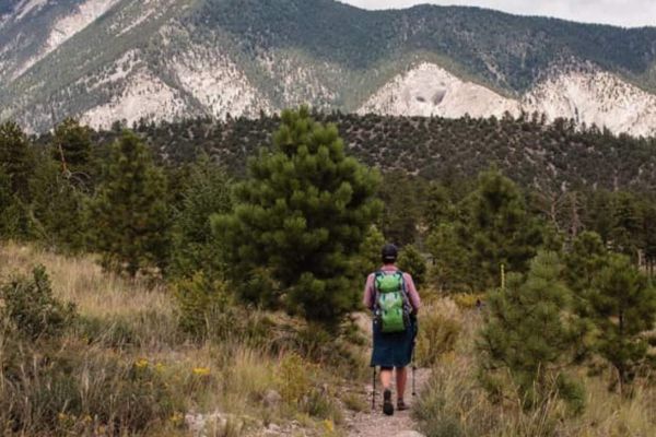
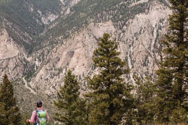
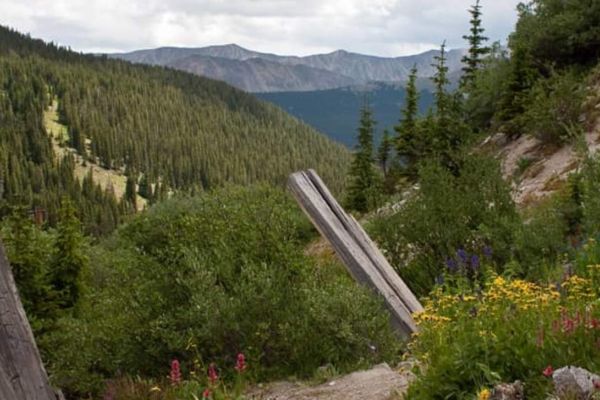
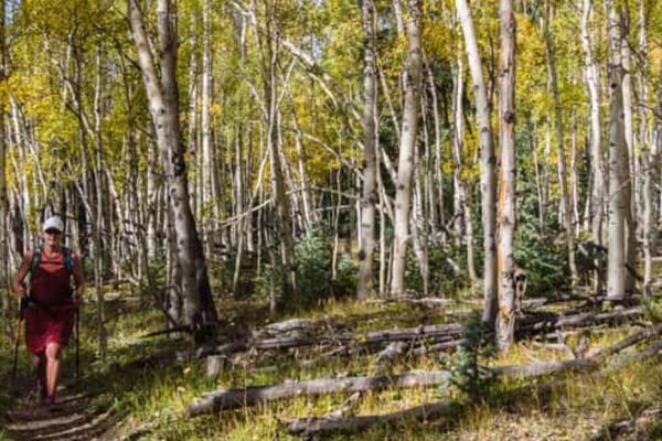
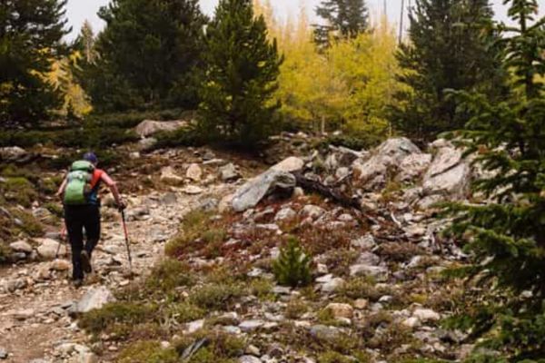
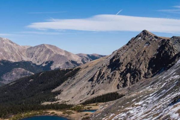
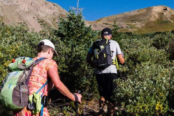
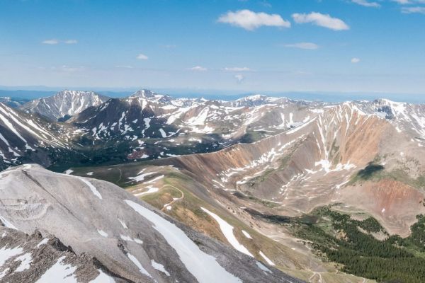
Chalk Creek flows east from the Collegiate Peaks mountain range into the Arkansas River. This beautiful singletrack hike starts at the creek and meanders south on the Colorado Trail. It climbs steadily from the waters of Chalk Creek through pine and aspen forests to a ridge with spectacular views of the surrounding mountains. Mt. Antero (14,289 ft.) is on the south side of the river and Mt. Princeton (14,197 ft.) is to the north. The trail then descends into an aspen forest and grassy meadow on the east side toward the Arkansas River Valley. A perfect spot for a picnic.
Options
Continue 1 more mile to Raspberry Gulch, 3 miles from the trailhead, or add as many more miles as you desire on the Colorado Trail heading south.
Trailhead Access & Facilities
Drive 16 miles north of Salida via US 291 to US 285, or 8 miles south of Buena Vista on US 285. Turn west on CR 162 and drive 6.9 miles to CR 291. Look for a sign to the Bootleg Walk-In Campground and the Colorado Trail on your right. Turn directly left on CR 291 and drive down the dirt road a short way. Park by the Chalk Creek Trailhead sign.
There are pit toilets in the nearby campground, but no facilities along the trail.
Location: Chalk Creek, West of Nathrop
Distance: 4 Miles – Out & Back
Hiking Time: 2 Hours
Best Months: May through October
Trail Type: Singletrack
Difficulty: Easy
Dog Friendly: Yes
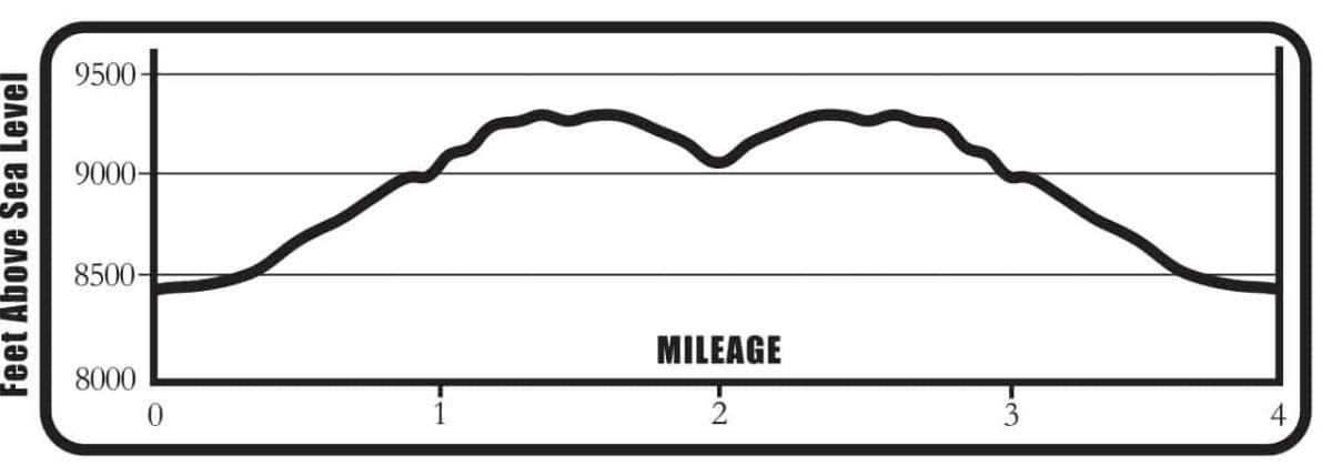
Elevation in Feet: Low Point 8,455; High Point 9,348; Climbs/Ascends 927
Land Status: San Isabel National Forest
Maps: Trails Illustrated #130
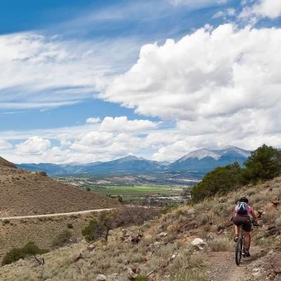
Note: There may be mountain bikers on this trail, but not many.
Colorado Trail South Mileage Log
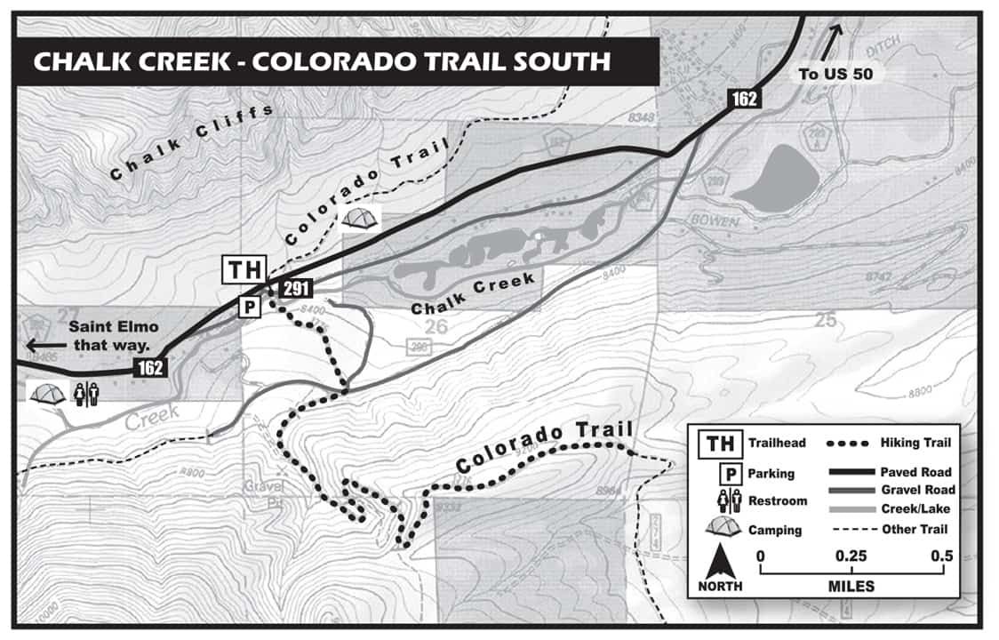
0.0 Trailhead – Chalk Creek Trailhead. Elevation 8,455 ft. (N38 42.99, W106 12.01) Cross the bridge and admire beautiful Chalk Creek. Sign in here and begin walking up a hill to the right.
0.1 The trail divides here – go right. The trail soon divides again. Stay on the well-marked Colorado Trail. A few yards farther, a sign indicates the Bootleg Campground, a walk-in campground. Do not take this trail. Stay on the Colorado Trail, which is marked with a white and green mountain symbol. Stay to the right toward Brown’s Creek.
0.4 Trail intersects road CR 290. Cross this dirt road and continue on the trail on the other side. A CT sign here indicates it is 3 miles to Raspberry Gulch. Continue.
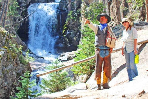
0.5 Turn around for a beautiful view of Chalk Creek.
0.6 There is a road to the right, do not take it. Stay on the trail.
0.7 You are steadily climbing and there is a small creek to your right.
1.1 You are climbing up steep switchbacks.
1.4 Top of the hill. Stop to rest and enjoy the views of the Chalk Creek drainage. This is the best viewpoint on the hike. It’s also a good place to stop for families with children. The trail now descends.
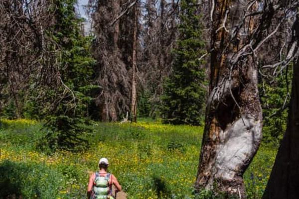
1.5 You are now half way to Raspberry Gulch in a grassy meadow surrounded by aspen trees.
1.7 Trail goes into an aspen forest.
2.0 This is the turnaround spot. Elevation 9,095 ft. (N38 42.66, W106 11.06) Return the same way.
4.0 Back at the trailhead.
BE PREPARED
We want you to have a safe and enjoyable trip into Colorado’s backcountry. Be prepared it could be a long walk out. Be sure to read this list of equipment you should bring on your ride along with tips to make your biking trip more enjoyable.
TRAIL ETIQUETTE
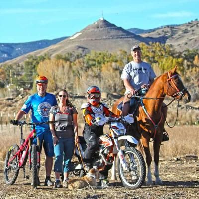
The Colorado backcountry is popular – bikers, hikers, motorcycle riders, hunters and equestrians use the trail system in the Arkansas Valley, and everyone wants a private piece of heaven. Even if you don’t agree with everyone’s motives or methods of travel, please treat them in a courteous manner.
CORSAR CARD
If you require search and rescue services, it can be costly. Buy a Colorado Outdoor Recreation Search and Rescue (CORSAR) card to protect yourself. Funds from the CORSAR program go into the Colorado Search and Rescue (SAR) Fund. If a CORSAR card holder becomes lost or injured in the backcountry, the Colorado SAR Fund pays eligible search and rescue expenses.
